


PURPOSE
For centuries, land has been bought, sold, divided and developed. Records of historic changes are sometimes kept in town hall libraries, sometimes not. A boundary survey accurately defines the borders of your lot to avoid disputes.
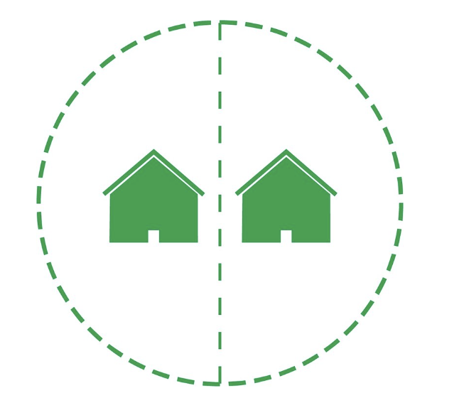
INCLUDED
A boundary survey is an aerial map of your property which accurately defines the borders between you and your neighbors. You will receive virtual and physical copies and have the option to have physical corner markers installed.
RESEARCH
Our in-house team will research your property and obtain copies of deeds and prior surveys. They will research the neighborhood, adjacent properties and cross reference with county court records before dispatching the field crew.
FIELD WORK
Our field crews rarely need to enter the home, but will need access to outside areas. Sophisticated technology will be used to scan and measure the entire property. The scans will then be created into a physical map, similar to a blueprint.